Thanks to BIM planning in Allplan Road and data transfer to execution via Bimplus, a difficult road renovation in Zurich has probably never been implemented more precisely.
Minimally invasive procedures are familiar from medicine. Instead of cutting open a large area of the body to operate underneath, the damage is kept to a minimum with fine instruments and yet the same goal is achieved. The city of Zurich wanted something similar when renewing the road surface in Wehntalerstraße. Here, the elevation had to be lowered by two centimeters to achieve a standard cross slope and the drainage channels had to be adjusted on both sides in order to create the conditions for an express cycle route (expressway for bicycles). Instead of completely renewing the road surface, however, the aim was to make the smallest (and quickest) possible intervention in the existing structure by replacing the pavement close to the surface.
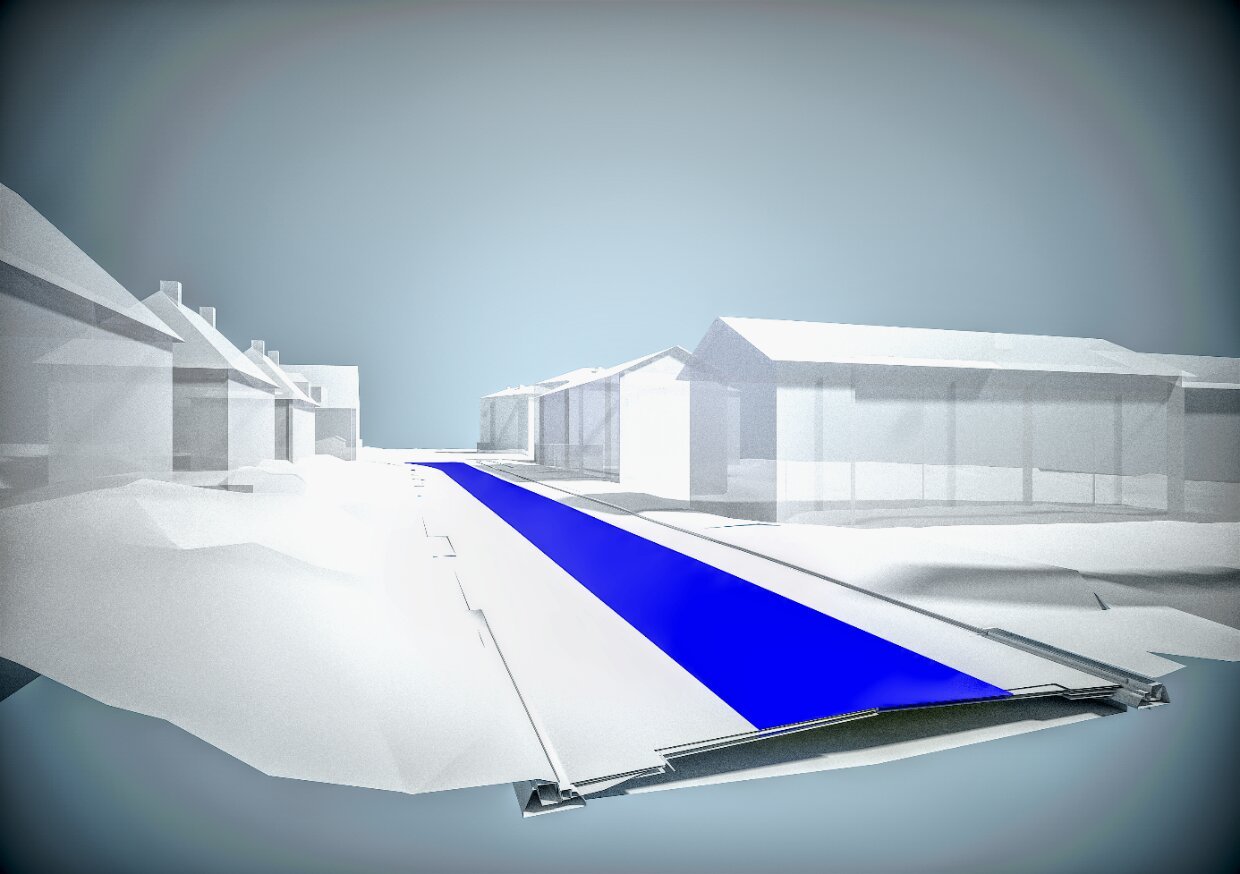 © ALLPLAN Schweiz AG; 3D model for the renovation of Wehntalerstraße, Zurich.
Planning with Allplan Road, the parametric road construction solution
The engineering firm Hans H. Moser was entrusted with this almost ‘surgical’ task. A notable feature of the project was that the office had already been working with Allplan Engineering for ten years in building construction, but now wanted to try out the parametric road construction solution, Allplan Road, for the first time. The BIM program is designed specifically for the planning requirements of road construction. For example, the terrain module can be used to load, display, and edit standard terrain formats. For very large terrain models, Road offers the option of quickly and easily reducing point clouds quantitatively, capturing terrain edges and meshing the terrain surface. The horizontal and vertical axis geometry can be defined intuitively using tangent intersection points or individual elements. Distinctive points of the cross-section can also be adapted horizontally and vertically to any geometric situation.
The engineers found these options very useful for the tricky planning task. A terrain model created from the field survey data served as the planning basis for the standard-compliant alignment. To plan the route, the office set axes at clearly defined intervals, the position of which was used to record the elevation coordinates and place the levels in between. The planners then added the eight-centimeter-thick layer of pavement, which determined the height of the area to be milled. The data was then transferred to the execution department via Bimplus.
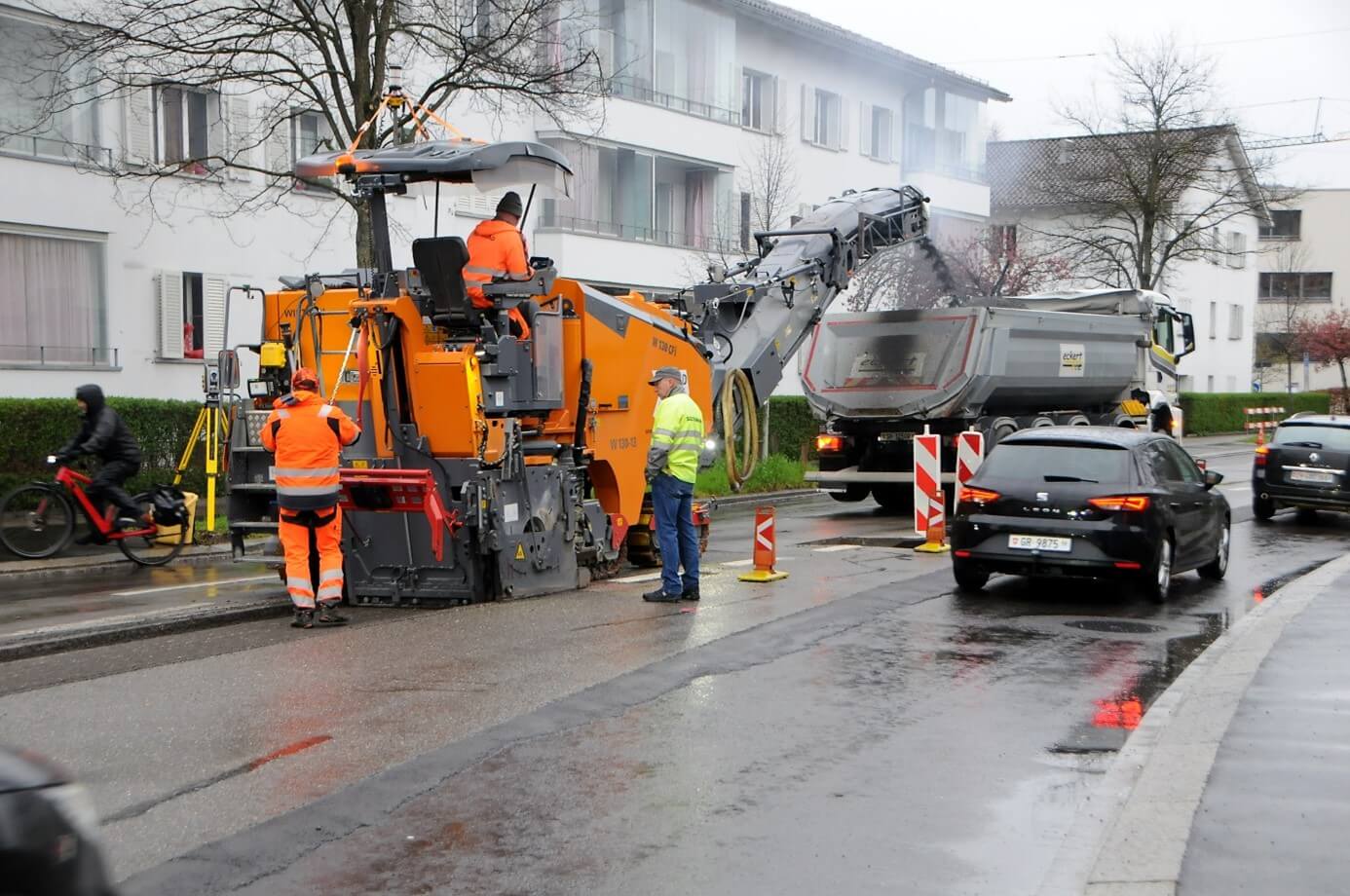 © Provided; Extremely precise removal of the near-surface pavement replacement thanks to 3D modeling.
"Computers better than humans for the first time"
The enormous advantages of BIM-based work with Allplan Road and Bimplus also became apparent during the execution by the pavement milling machine. “With this project, we wanted to show that thanks to 3D planning with Allplan Road and data exchange via Bimplus, it is now possible to implement millimeter-precise surface removal on the construction site,” explains Patrick Maag from the engineering firm Hans H. Moser. Beforehand, there had been concerns on the part of the contractor that the data transfer to the machine would be too slow and that it would not be able to work as accurately anyway. In the end, however, all doubts proved to be unfounded. Patrick Maag sums up with satisfaction: “This is probably the first construction site where the computer is better than a human being.”
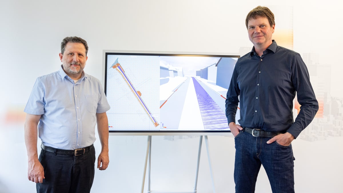 © ALLPLAN Schweiz AG; Walid Tarnutzer (Project Manager), Patrick Maag (Managing Director), Ingenieurbüro Hans H. Moser AG, Zurich (from left).