Guest Post by Michael Grad, Product Owner Road at ALLPLAN
Road design and terrain modeling go hand in hand. However, designing them in 2D presents many challenges, often leading to time lost through re-work. Combined with the differing views of many different stakeholders, road and infrastructure engineers can find themselves redesigning the same project from scratch several times. With a parametric road modeling software solution, road design and terrain modeling are much easier and more efficient, so this re-work can be avoided. In this post, I’ll cover four ways that parametric road modeling accelerates the highway design process.
Why Use Parametric Road Modeling?
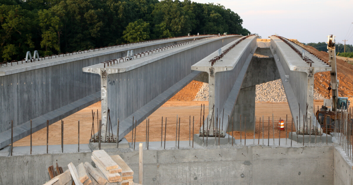
Many highway engineers will be familiar with the following scenario. One of the first tasks to be completed is to access the terrain data of the site extents, but the survey may contain too much information to make it practical to work with. Not until the terrain model is available, the first drafts for the road axes can be created. After that, the standard cross-sections for the road are defined. Throughout the design process, several changes may be requested for the alignment, cross-sections, and other features, which takes up considerable time.
With the parametric road modeling software from ALLPLAN, these adjustments are much quicker and easier to make by defining parameters that can be updated at any time during the design process. Changes can be applied within seconds, rather than having to re-model the design from scratch.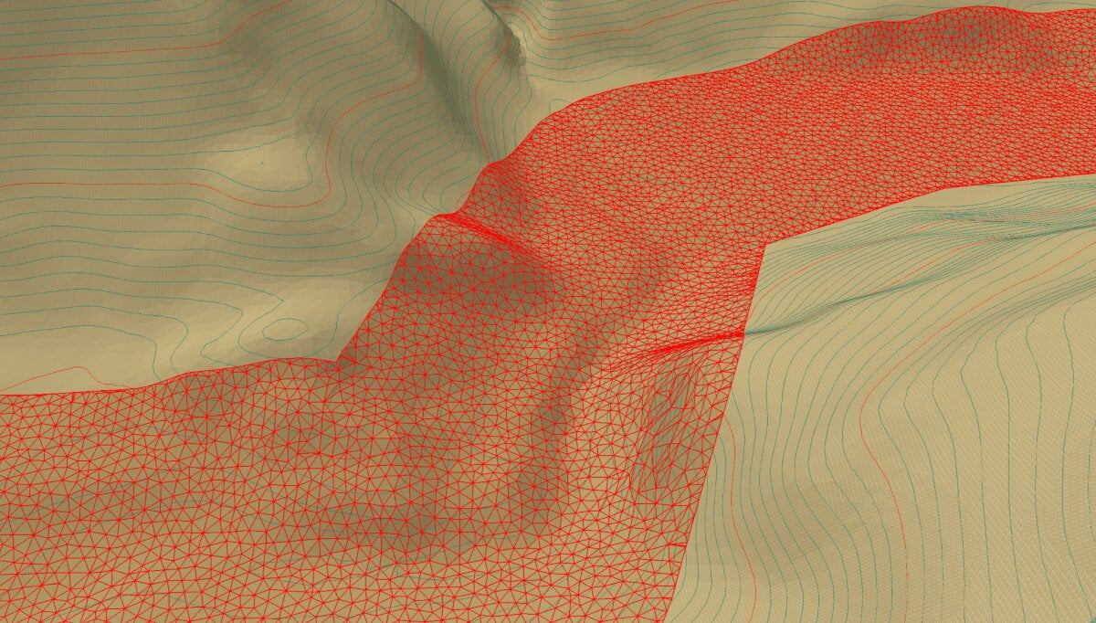 © ALLPLAN
Performant Terrain Modeling
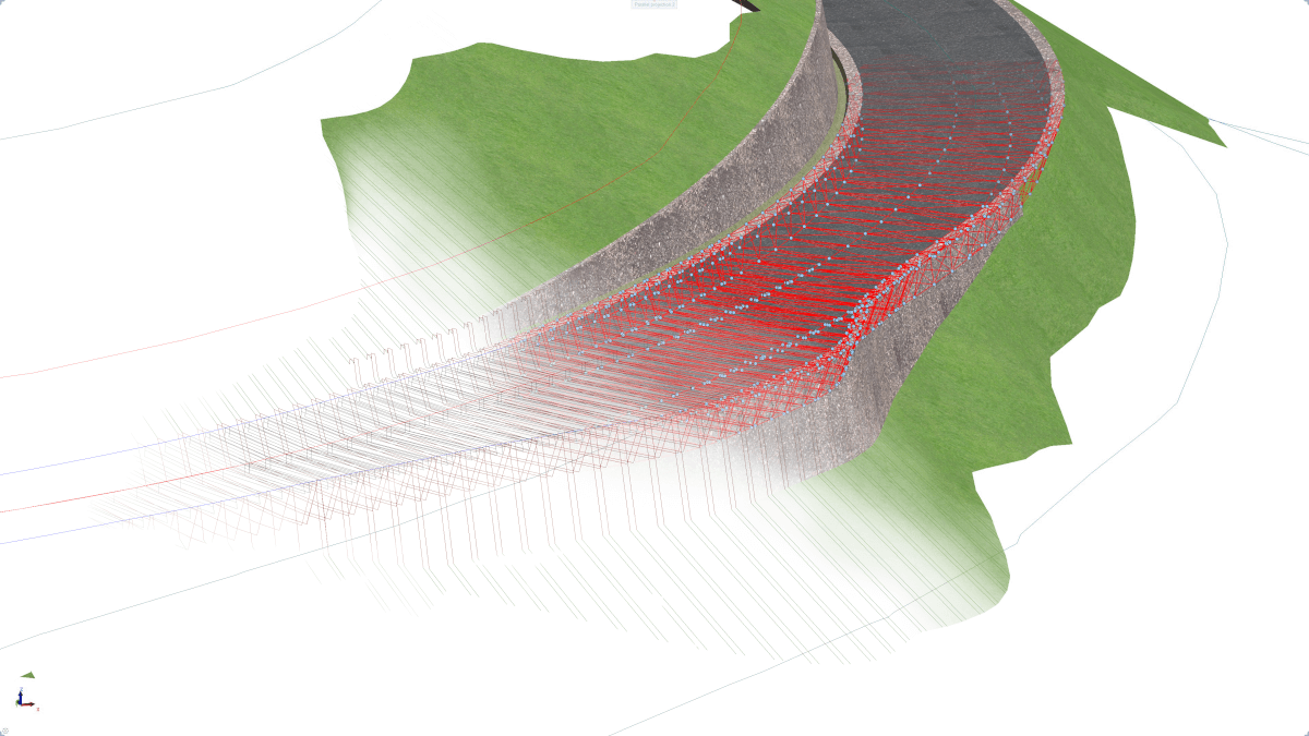
Often, it is very difficult to process big point clouds from a terrain survey and display them in a performant way. With the new terrain modeling approach of Allplan Road, we can process several million points to better visualize the imported surfaces. For example, very dense terrain meshes can be reduced to a less dense surface or trimmed to the required site extents. Despite these simplifications to the surface, the precision of any subsequent calculations is not affected and all the data remains intact. The surface can also be adjusted by defining break lines.
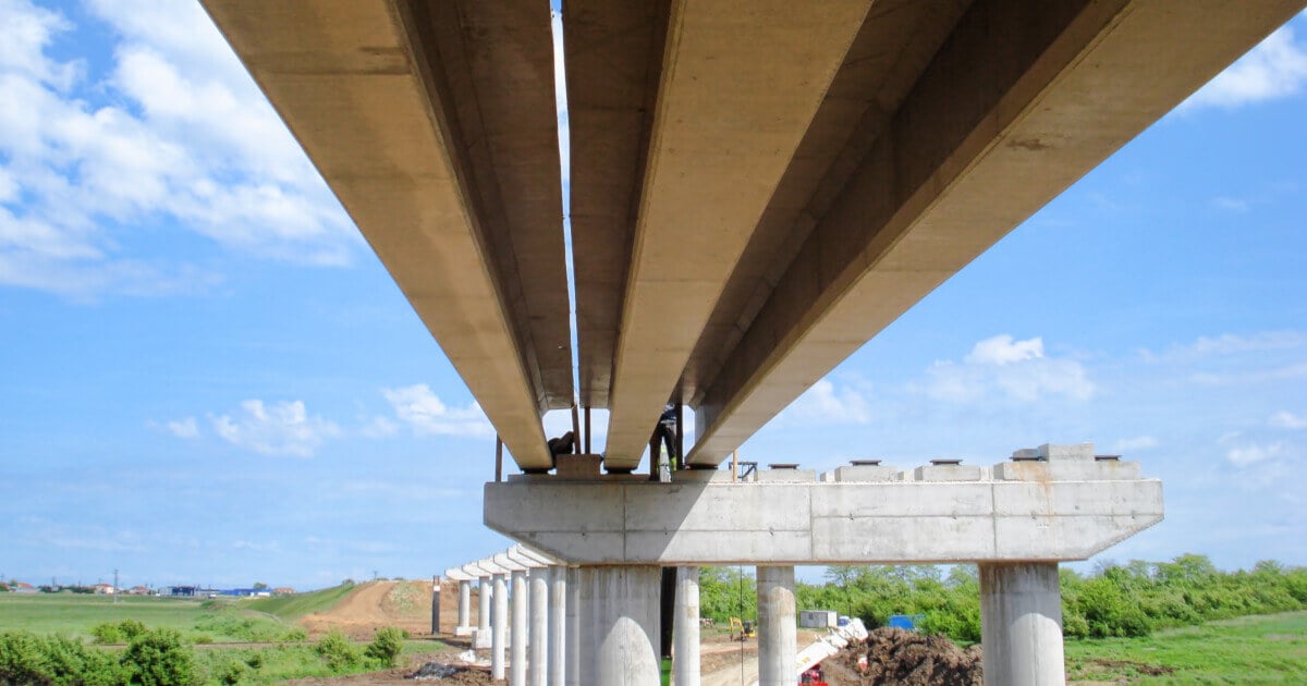
Intuitive Road Axis Design
With the Allplan solution the creation of axes is very simple and they can be modified parametrically at any time. For it we separately define the horizontal and vertical alignment. If any changes are necessary during the planning process, these can be implemented swiftly at any time. By simply selecting a tangent polygon point of the axis geometry, the alignment can be adjusted, and the road model is automatically updated.
 © ALLPLAN
Easy Road Body Definition
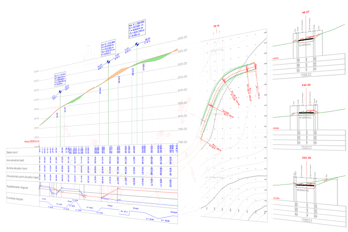
Once the terrain surface and the axes are defined, the road body can be modeled. Allplan uses a template-based modeling approach, which has the advantage of a high degree of flexibility. The basic road geometry is defined with four templates:
- The cross-section template defines the number of lanes, standard width, vertical offsets, and the road layer structure.
- The sub-base template defines all parameters for the substructure.
- The roadside templates are used to define all shoulders, ditches, slopes, and walls.
- The land requirement template sets the calculation boundaries for the model.
Once the templates are created, these are assigned to the axis. Of course, the transitions between consecutive templates are automatically created by setting the inlet and outlet distances.
As we all know, the geometry of a road body can vary a lot. To avoid having thousands of templates for minor deviations, Allplan has multiple detailing functions to refine the structure. All parameters that were previously set in the templates can be overwritten to specified requirements.
Simplified Structural Changes
Sometimes the road structure needs to be changed, perhaps to tie into an adjacent feature, for example. With the powerful adjustment tools – called “Limits” – it is possible to adapt the model to any auxiliary element. Once a linear element is captured as an axis, this can be used to align the road model in horizontal and vertical direction easily.
 © ALLPLAN
Efficient Terrain Modeling and Road Design with Parametric Solutions
These are just some of the benefits of using a parametric road engineering solutions. Allplan also has a range of other time-saving features, such as automated report and drawing creation, or even exporting the model to Bimplus for seamless multidisciplinary collaboration. The simple and high-performant workflow allows a time saving up to 80% compared to laborious 2D paper workflows – and with a free, 30-day trial, road design engineers can see for themselves how much more efficient highway design can be.
Learn more and watch the presentation now.

Michael Grad, |