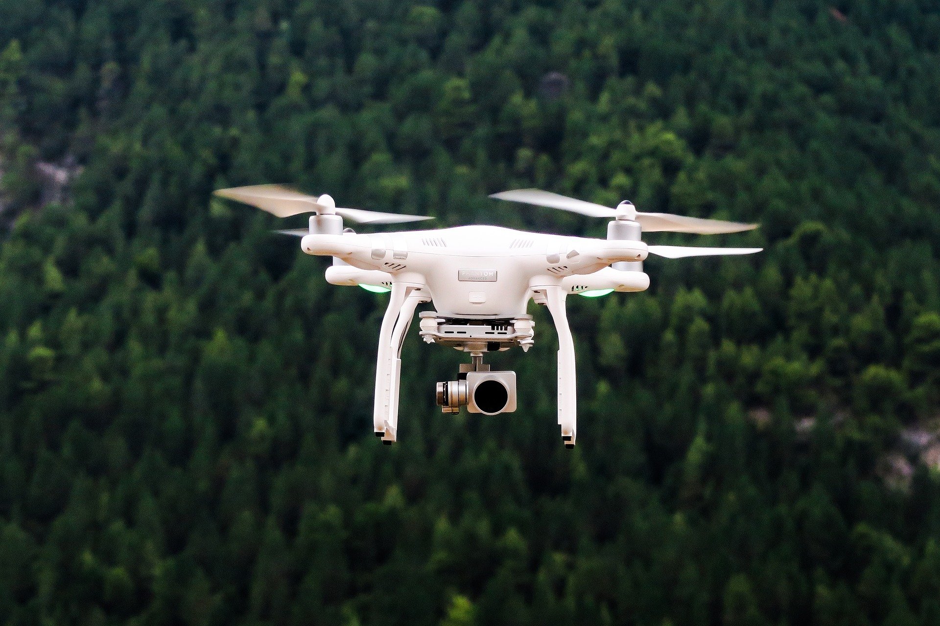
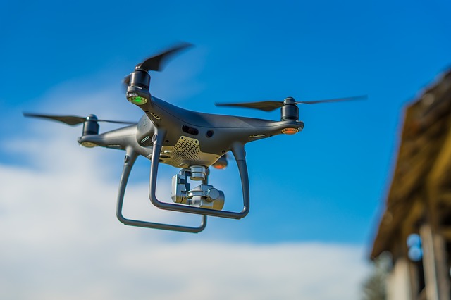
Maybe UAVs - Unmanned Area Vehicles - will at some point become an integral part of our everyday lives. In the construction sector, in particular, drones with cameras offer a wide variety of applications. The aerial photos they provide are not only of documentary interest. Digitization of construction work makes the use of drones also very attractive in 3D planning - especially during inventories.
© Pixabay / Pexels, https://pixabay.com/de/luftbild-luft-kamera-tageslicht-1866742/; Drone with camera
Little helpers with a camera
They are small, they are lightweight, they are versatile. They work reliably and inexpensively. But above all they see things that are very interesting for architects and engineers. Remote-controlled drones collect and deliver terrain profiles and provide measurements for facades and roof surfaces. They assist in structural damage analysis for the renovation of old buildings. They provide images of existing buildings or land for exposés. If they are fitted with a thermal imaging camera, UAVs can locate energy loss. Even hard-to-reach areas of a building can be examined and photographed with comparatively little effort. Nothing escapes the view of the drone: Its high-resolution camera provides images that can be zoomed in on to make objects of a just a few millimeters in size recognizable.
Flying into a 3D model by drone
Data from a drone flight can be used in architecture in an even more pioneering way: In the planning stage. The aerial images are corrected and photogrammetrically evaluated. The result is two-dimensional views of parts of buildings or terrain profiles. Not only 3D models can be generated from this. The images along with other project information are fed into the Building Information Modeling program. This can provide eveyone involved in a project with decisive arguments in the planning phase.
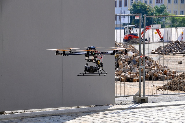
© Flickr / FaceMePLS; Drone on a construction site
Site with start-up difficulties
After a false start at a construction project in Bad Bramstedt, Schleswig-Holstein, the unmanned flying machine brought it back on the right track. The plans were for a 1,300 square-meter large single-family house with integrated swimming pool, sauna, underground parking area and appropriate building services. In addition, acommercial building with security guard, offices, large basement areas and an underground garage were planned for the same propery. The developer placed special emphasis on sustainability, profitability and quality. The planning of the two building complexes began in November 2014. A construction period of nearly four years was scheduled. After problems with the originally commissioned engineering firm, there was, however, a change of architect shortly after the start.
Drone-based BIM planning as a start-up aid
The new project managers, the Hamburg BIM experts from CORE architecture, were handed over the “baton” of a basement shell construction and the shattered remains of the planning. Since the original design, with a traditional, two-dimensional layout representation, could hardly be conveyed to the developers, the architects worked from the beginning with a three-dimensional model. At first, an inventory of the parts of the building which had already been constructed and the surrounding area was essential in order to subsequently be able to coordinate the model-based construction.
Drones were used for this. The entire site was measured from the air and the result of the dimensioning then matched with the planning in Allplan Architecture. The 3D building model showed not only errors in the original design. Project managers and the developer were also able to discuss the effect of the spatial dimensions and any changes. Specific aspects of the planning were thus transparent for all those involved. With the help of the drone-based BIM-planning, time and costs were able to be saved and risks minimized.
© Pixabay / Curriculum_Photografia, https://pixabay.com/de/drohne-flugdrohne-quadrocopter-3198327/
Air space with rules
Freedom above the clouds is naturally not limitless. Even though the use of airspace by aircraft is carried out while practicing a fundamental right contained in Art. 2 (1) of the German constitution and section 1 para. 1 of the Air Traffic Act: There are clear rules for the operation of drones. This means not only existing air transport legal provisions must be observed. Both the copyright and data protection law and the property and personal rights of third parties also limit the use of flying drones with cameras. In addition, if private property is flown over at too low of a height, or too often, and the owner is disturbed, this may justify an injunction in accordance with section 823 para. 1, 1004 of the German Civil Code.
The use of drones in architecture has great potential. The further digitization of construction progresses, the more good reasons there are for engineering firms to optimize their BIM planning with additional data.